| Features | Specifications |
| Compatible platforms |
• All STANAG 4609-compatible drones* • DJI and Parrot drones • Scalable software architecture ensures interoperability with a wide range of drones |
| Input data |
• Standard audiovisual streams or STANAG 4609* • Optional GPS data • Compatible with thermal cameras, LiDAR, and RTK modules |
| 3D mapping |
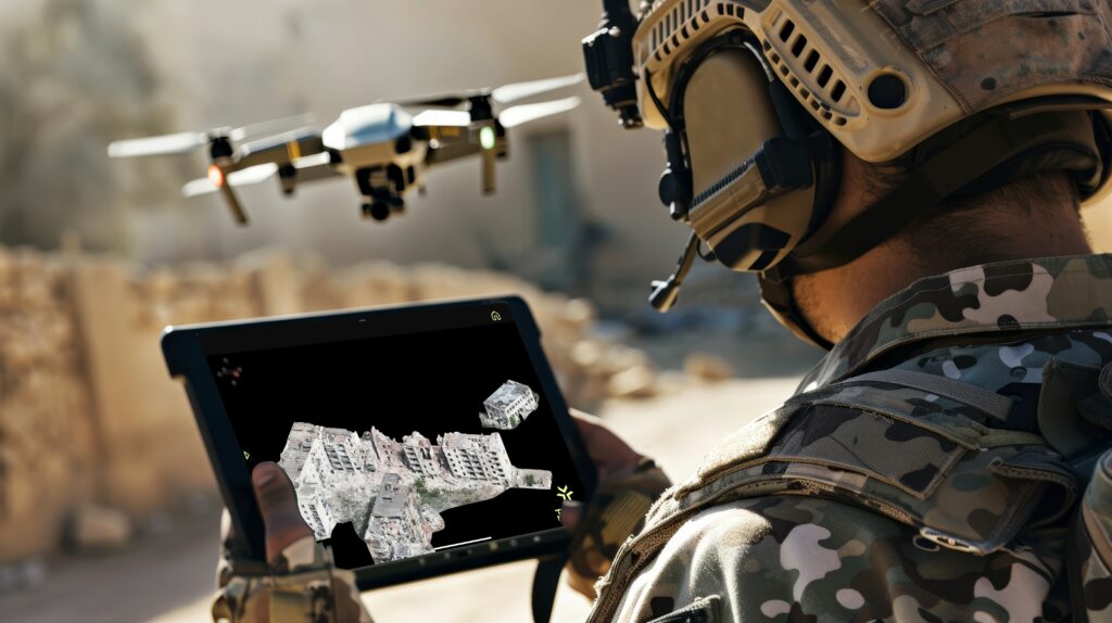
• Proprietary, patented photorealistic 3D technology • Progressive reconstruction during flight: 3D maps usable mid-flight • Reconstruction of dynamic elements (fire, smoke, persons, vehicle, etc) • 3D reconstruction from meter to kilometer scales |
| Analytics features |
• Text, icon, and image annotations directly on 3D maps • Distance, surface and volume measurements • Automatic hazard detection (e.g., high-voltage power lines) • Person and vehicle detection (static or in motion) • Safe landing zone detection • Secure ground path planning • Line-of-sight and intervisibility area estimation* |
| Georeferencing |
• GPS coordinates for every 3D point (±5 meters or more precise with RTK modules) • Overlay with existing 2D maps |
| Real-time edge processing |
• Optimized for Windows and Android mobile devices • Operates without Internet or server-based computations. |
| Export and Distribute |
• Sharing 3D situation reports via email and SMS • Interoperable with GIS applications (e.g. TAK*, ESRI) • Export to OBJ and PLY format |
* Military Edition only

Download our White Paper :
Size: 8.6 MB
Version: 1.1
Published: 18 May 2024
585 Downloads


