In today’s fast-paced world, the ability to gather, analyze, and act on information quickly can make a significant difference in various fields, from military operations to disaster response. Unmanned Aerial Vehicles (UAVs), commonly known as drones, have emerged as a powerful tool for real-time terrain mapping and analysis, providing crucial insights and enhancing decision-making capabilities directly in the field. This blog post explores the importance of real-time terrain mapping and analysis using UAVs and how this technology is transforming multiple industries.
Real-Time Terrain Mapping: A Game-Changer
- Enhanced Situational Awareness:
- Immediate Data Collection: UAVs equipped with advanced sensors can capture high-resolution images and data of the terrain in real-time. This immediate data collection is vital for gaining a comprehensive understanding of the environment, enabling quick and informed decision-making.
- Live Monitoring: Real-time mapping allows for continuous monitoring of dynamic situations, such as changing weather conditions, evolving battlefield scenarios, or shifting disaster zones. This capability ensures that decision-makers always have the latest information at their fingertips.
- Accurate and Detailed Analysis:
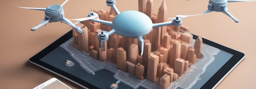
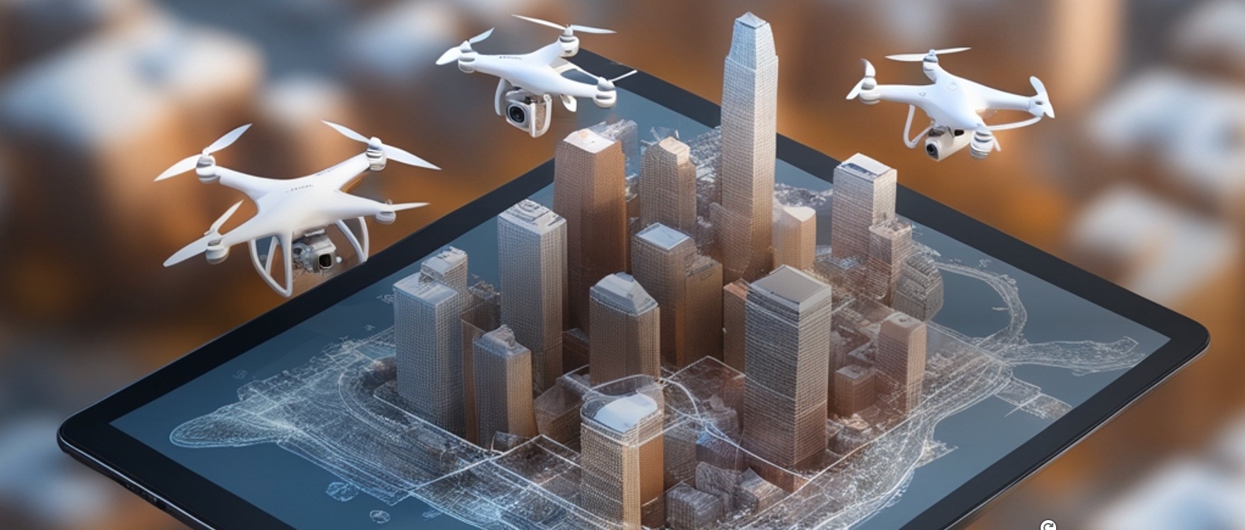
- 3D Terrain Models: UAVs can generate detailed 3D models of the terrain, providing an accurate representation of the landscape. These models are essential for various applications, including military planning, environmental monitoring, and infrastructure development.
- Precision Measurements: Real-time analysis enables precise measurements of distances, elevations, and areas. This precision is critical for tasks such as planning construction projects, conducting geological surveys, and assessing damage in disaster-stricken areas.
- Rapid Response and Action:
- Immediate Insights: The ability to analyze terrain data in real-time means that insights can be derived on the spot, without waiting for data to be processed off-site. This immediacy is crucial in time-sensitive situations, such as search and rescue operations or military engagements.
- Swift Decision-Making: With real-time terrain analysis, decision-makers can quickly evaluate different scenarios and choose the best course of action. This speed is especially important in emergencies, where every second counts.
Key Applications of Real-Time Terrain Mapping
- Military Operations:
- Strategic Planning: Real-time terrain mapping provides military commanders with up-to-date information on the battlefield, allowing for precise planning and execution of operations.
- Mission Coordination: Detailed terrain models help in coordinating troop movements, identifying safe landing zones, and planning supply routes, enhancing overall mission effectiveness.
- Disaster Response and Management:
- Damage Assessment: UAVs can quickly assess the extent of damage in disaster areas, providing critical information for emergency response teams. This assessment helps in prioritizing rescue efforts and allocating resources efficiently.
- Search and Rescue: Real-time mapping assists in locating missing persons and identifying safe pathways for rescue teams, significantly improving the chances of successful rescues.
- Environmental Monitoring:
- Habitat Mapping: UAVs can monitor and map natural habitats, providing valuable data for conservation efforts and environmental protection.
- Pollution Tracking: Real-time analysis helps in tracking pollution sources and assessing the impact on the environment, facilitating timely interventions.
- Infrastructure Development:
- Construction Planning: Detailed terrain models aid in planning and designing infrastructure projects, ensuring that construction is carried out efficiently and safely.
- Inspection and Maintenance: UAVs can inspect infrastructure such as bridges, roads, and pipelines in real-time, identifying potential issues and enabling prompt maintenance.
Conclusion: The Future of Real-Time Terrain Mapping
The integration of real-time terrain mapping and analysis using UAVs is revolutionizing the way we gather and use spatial data. This technology offers unparalleled advantages in terms of speed, accuracy, and detail, making it an indispensable tool in various industries. As UAV technology continues to advance, we can expect even greater capabilities and more innovative applications, further enhancing our ability to understand and interact with the world around us.
In summary, real-time terrain mapping and analysis from UAVs is not just a technological advancement; it is a transformative capability that enhances situational awareness, improves decision-making, and enables rapid response in critical situations. Whether in the military, disaster response, environmental monitoring, or infrastructure development, the power of real-time UAV mapping is reshaping the future and driving progress across the globe.

