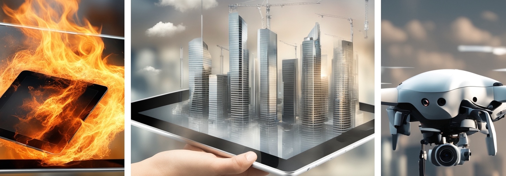
Welcome to our cutting-edge system that pioneers real-time 3D terrain reconstruction from drone captures, coupled with advanced 3D analysis capabilities.
Our platform empowers users to conduct tasks such as line of sight calculation, landing zone detection, and ground path planning with unparalleled efficiency.
What sets us apart is our mobile-centric approach – all processing is seamlessly handled on your mobile device, eliminating the need for an internet connection.
Experience the power of real-time visualization directly on your mobile device in the field, providing you with instant insights to make informed decisions and optimize operations.
With our solution, you have the tools you need for success, wherever your mission takes you.


